See the fire.
Understand the risk.
Coordinate the response.
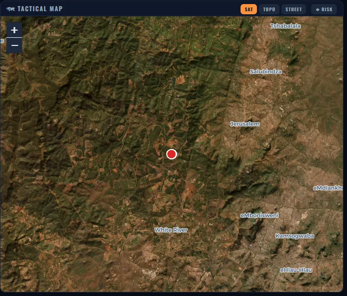
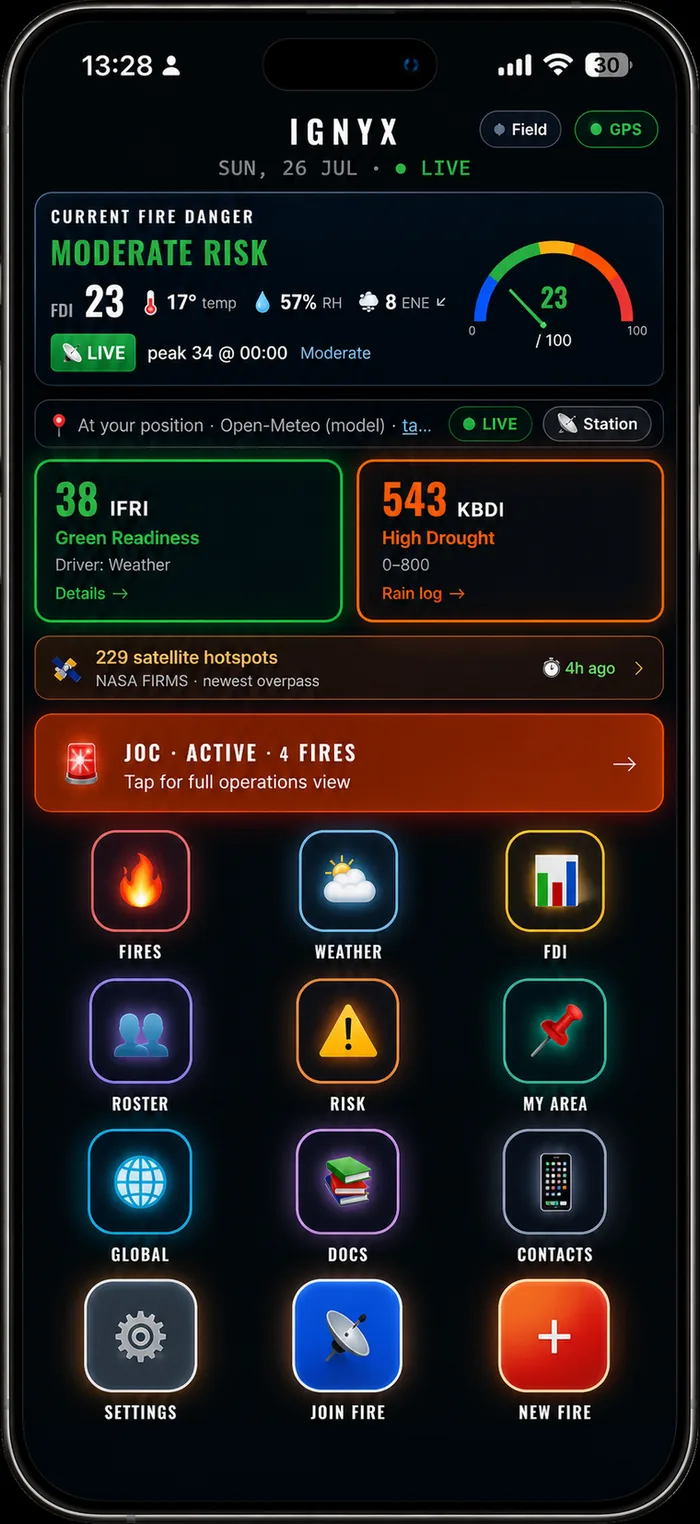
IGNYX connects live maps, fire weather, fire behaviour, crews, aircraft and incident records in one common operating picture — on the phone in your pocket, with or without a signal.
Built for the field, the command post and the operations centre.
Decision support only — not a substitute for trained incident command.
Built for the full wildfire operation
One platform connecting detection, response and post-incident reporting.
Every ten minutes.
Every source named.
The satellites IGNYX is wired to, where they are right now, and the fires they are seeing. Drag the globe. Scrub the last 24 hours. Every platform shown is a free, public feed — IGNYX owns no satellites.
Live satellites
The information exists.
It's just never in one place.
Weather in one app. Satellite hotspots in another. Crew on WhatsApp. Paperwork on a clipboard on the seat of an LDV. By the time it's assembled, the fire has moved.
One workspace.
From first report to final review.
Capture, visualise and share what the incident actually needs — so the fireline, the command post and the operations room are looking at the same picture.
Four things IGNYX does
Everything below is running in the product today.
Works with no signal.
Because that's where the fire is.
Installs to the home screen. Caches the full app and your map areas. Queues everything you do offline and syncs the moment you're back in range.
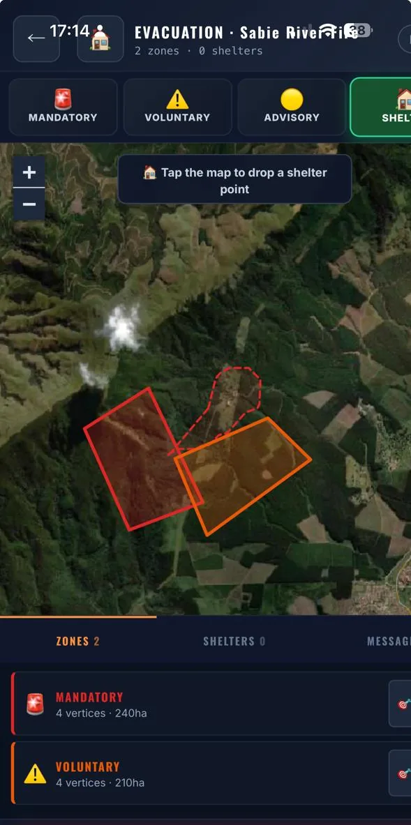
Publish an evacuation the public can actually read
Draw the zone. Mark the shelters. Write the message. Publish.
Residents open a free, fullscreen alert page — no app, no login, no account. It works out which zone they're standing in by GPS and gives them one-tap directions to the nearest shelter.
Leave now. Imminent threat to life.
Leave if you can. Threat developing.
Be ready. Fire activity in your area.
A common operating picture for the entire incident
The JOC view puts the tactical map, fire weather, incident list and every deployed resource on one screen — and reassigns crews across fires in a single tap.
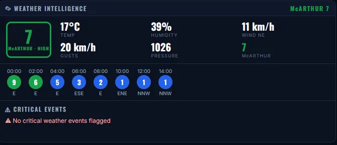
Also on this screen
Forecast and spread outputs support operational decision-making and must be interpreted by suitably qualified personnel.
From first report to final review
The right information for every operational role
Built for the organisations that fight fire
Wildfire operations differ by region.
So does IGNYX.
Four fire-danger systems ship today — South African LFDI, Canadian FWI, McArthur FFDI and US NFDRS. IFRI scores any point on Earth with no setup at all.
Units, terminology, forms, map layers and organisational structures are designed to be configured around how your service actually operates. Additional integrations are added on request.
SA LFDI
Lowveld Fire Danger Index
Canadian FWI
Fire Weather Index
McArthur FFDI
Forest Fire Danger Index
US NFDRS
Burning Index
IFRI — Ignyx Fire Readiness Index
IGNYX's own 0–100 score. Layers fuel dryness and terrain on top of the weather rating, on a global hex grid, with a seven-day trend. No setup, no areas to define.
Built around the way wildfire teams operate
Real screens from the running application.
Technology that supports — not replaces — professional judgement
Wildfire environments are dynamic and dangerous. IGNYX improves access to operational information, situational awareness and coordination. Decisions remain with appropriately trained and authorised personnel working under established incident-management procedures.
Choose how to deploy IGNYX
The public layer stays free, permanently. Operational capability is what organisations pay for.
Command and Enterprise are sold directly by IGNYX under quotation. Enterprise pricing depends on users, regions, storage, integrations, training and support.

Build a clearer operational picture.
Join the IGNYX early-access programme or arrange a demonstration for your organisation.

Built from real wildfire experience
IGNYX wasn't specified in a meeting. It was built over eight months by someone who runs fires, because the available tools either cost more than a brigade's annual budget or assumed a data connection that doesn't exist on a mountain at night.
It combines practical fire-management experience with modern mapping, mobile, weather and decision-support technology — and it is used on real incidents.
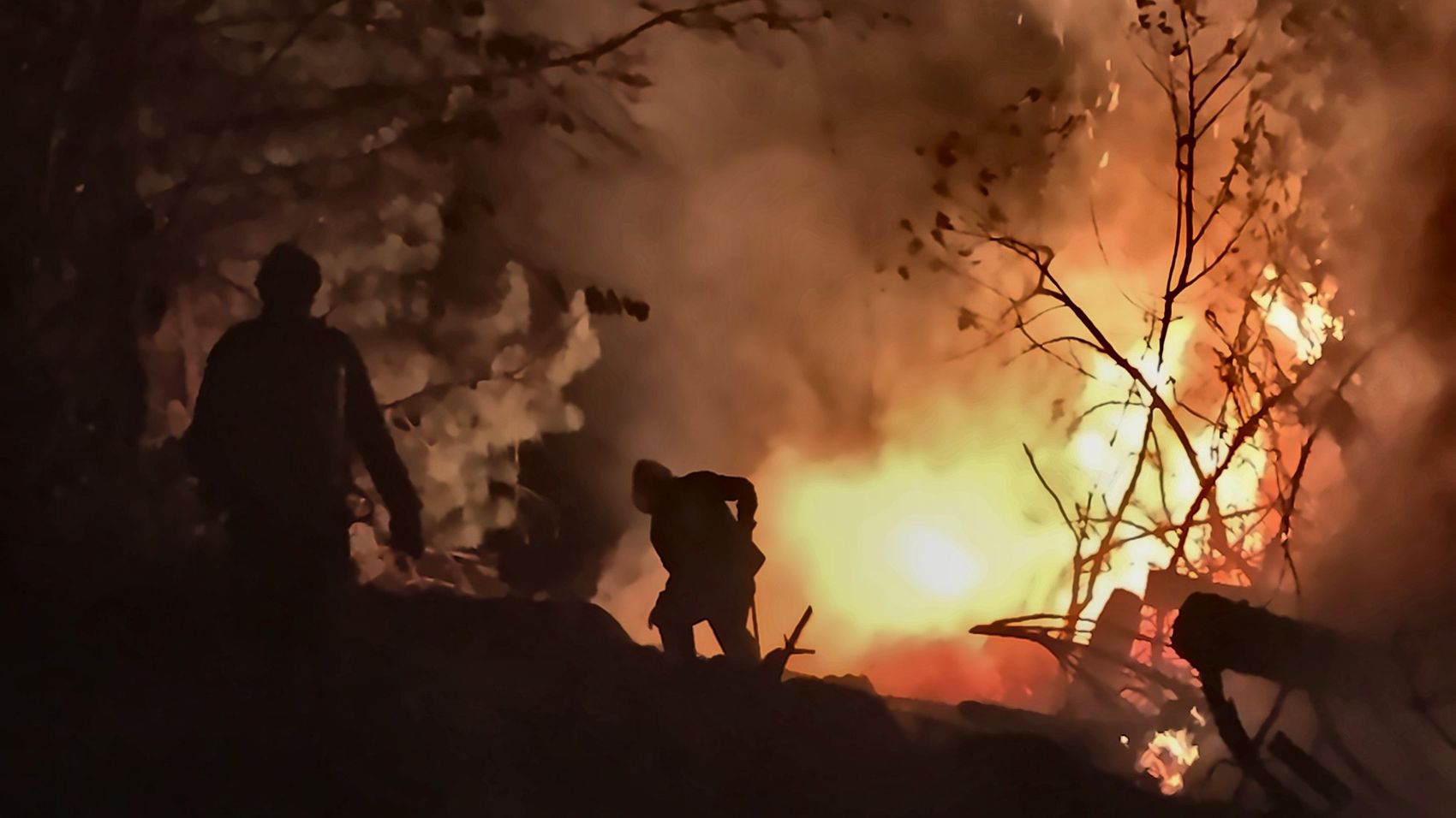
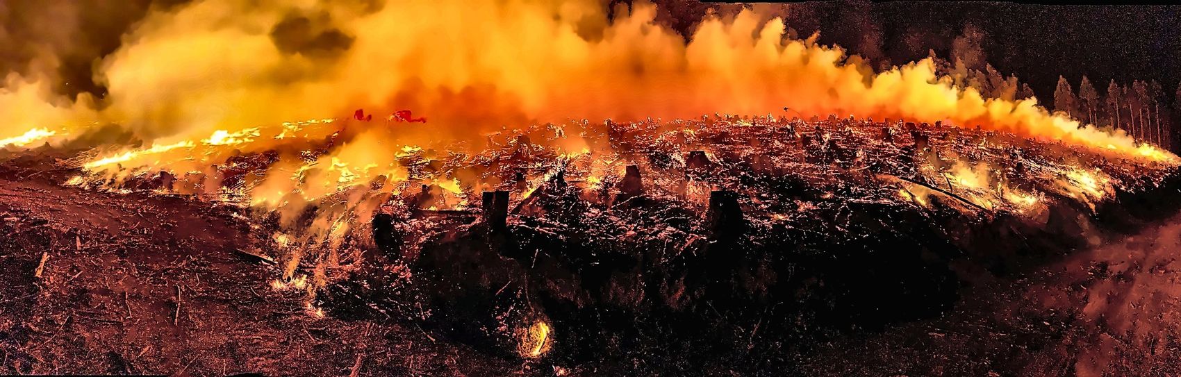
Every photograph on this site was taken on an operational incident.
Frequently asked
Request early access or a demonstration
IGNYX opens to organisations soon. Tell us about your organisation, your region and what you're trying to solve, and we'll come back to you directly — early-access partners are onboarded first.
Thank you
Your request has been received. The IGNYX team will contact you shortly.